Geospatial Specialist
Experience integrating field data, infrastructure assets, and operations into practical GIS workflows that support real-world decision-making.
Core Capabilities
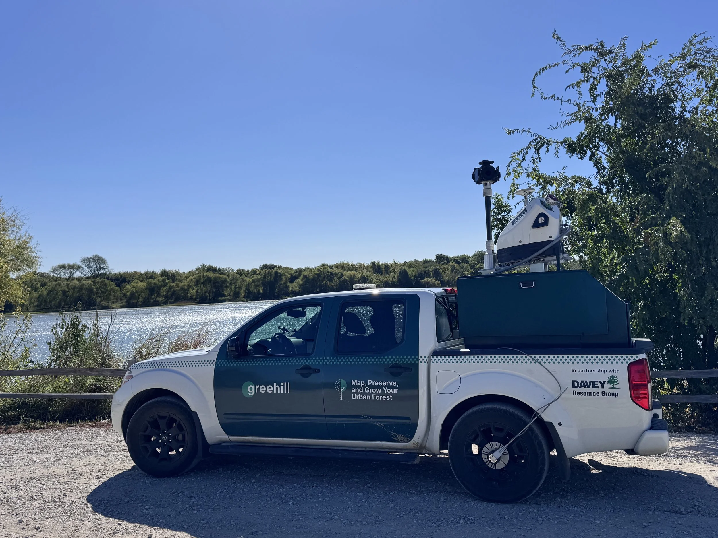
Field Data Collection (GNSS, LiDAR)
Operational Dashboards & Workflows
Data Integration & QA/QC
Technical Tools
ArcGIS (Pro, Online, Dashboards)
QGIS
PostGIS
Data & Automation
Python (Automation Workflows)
SQL (Querying, Data Extraction)
Arcade (Custom Expressions, Dashboards)
Field Systems
High-accuracy GNSS Receivers (Topcon FC-5000)
Mobile Laser Scanner Systems (Riegl VMX-2HA)
Terrestrial Laser Scanner Systems (Riegl VZ-400i)
Featured Work
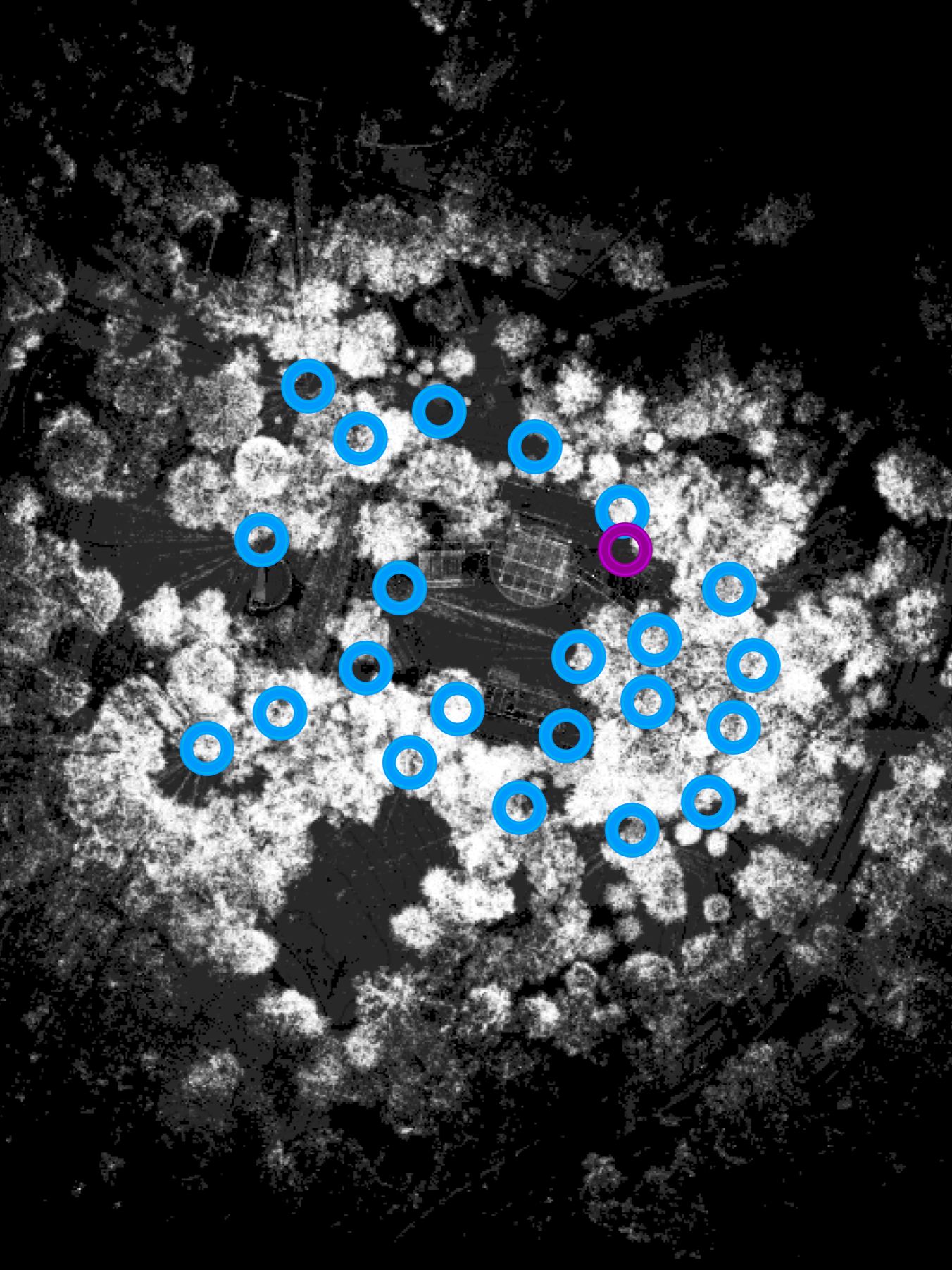
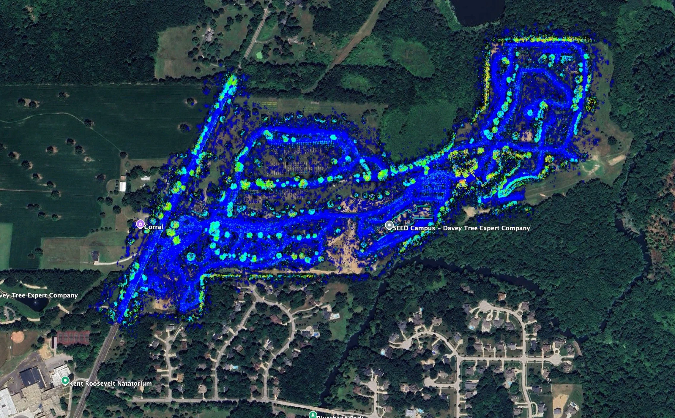
Exceptions Reporting (QGIS)
Developed to report to clients which areas of their cities did not have sufficient data. This includes areas with substandard imagery or missing trees. See Case Study
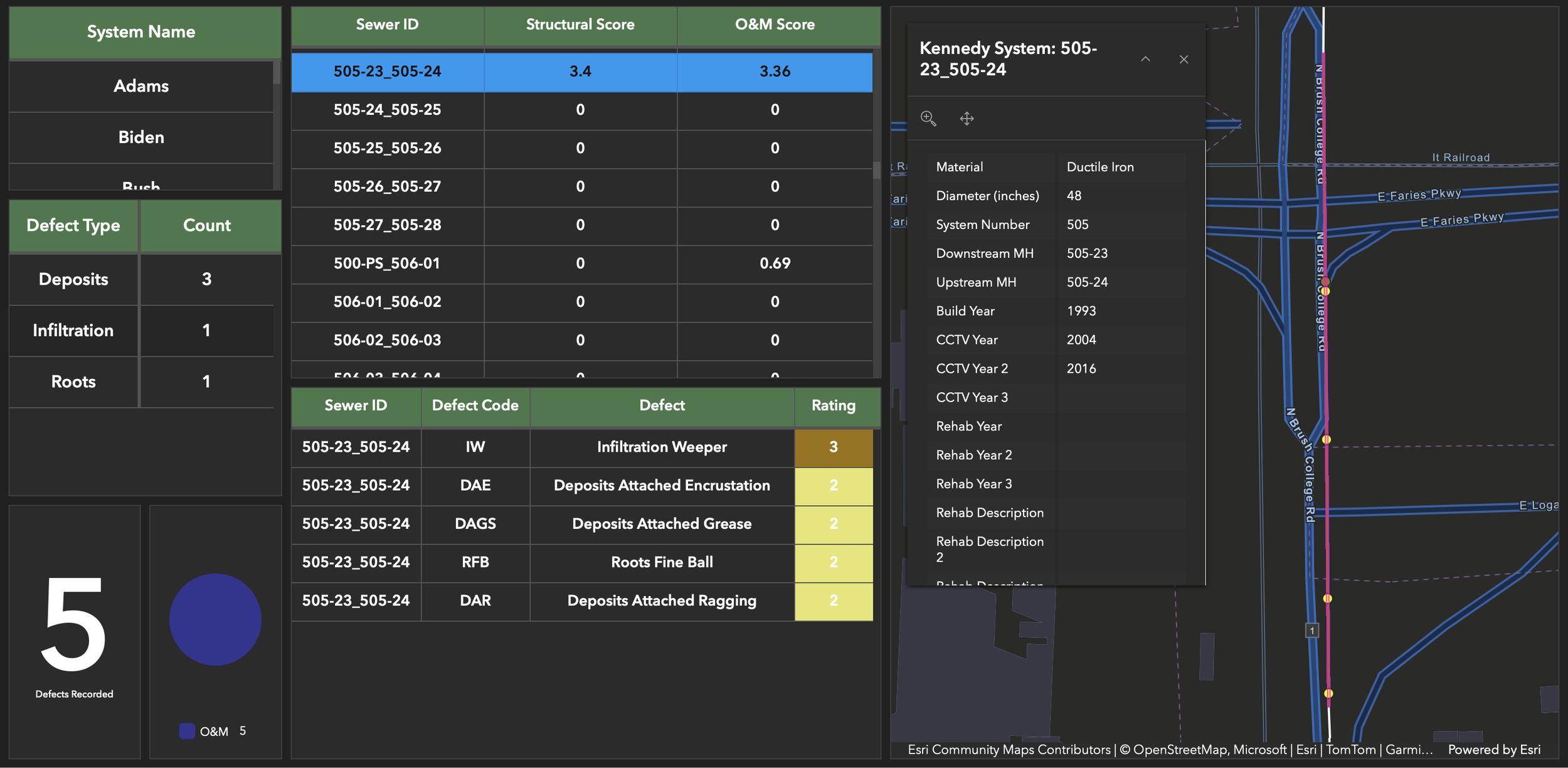
Pipeline Assessment System (ArcGIS)
Developed to assess Sanitary District of Decatur’s interceptor sewer system and facilitate planning/execution of the 10-year maintenance plan. See Case Study